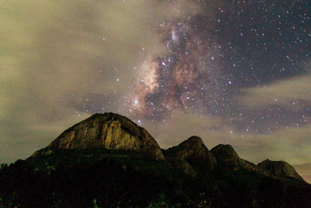
Thirumoorthy Hills, Udumalaipettai, Tirupur
Thirumoorthy Hill is a part of Western Ghats about 19 km from Udumalaipettai. This hill is also a part of the Indra Gandhi national park and has a huge number of plants and animals living in it. The important landmarks in the Thirumoorthy hill are Universal Peace Foundation, Thirumoorthy dam, Thirumoorthy waterfall and Thirumoorthy Temple. Thirumoorthy Temple Road is the major road which passes through this hill.


Thirumoorthy Hill at Udumalaipettai is located at 10°27'46.2"N 77°09'18.2"E or 10.462829, 77.155051. It is situated 50 Kms from Pollachi and 20 kms from Udumalaipet on the highway from Palani to Coimbatore. Like other hills in Anamalai range, this place heaven for the hikers and natural lovers. If you want to hike around Thirumoorthy hills, you should get permission from the forest department.


Forest department is located nearby Thirumoorthy hills bus station and Temple. Thousands of tourists arrive here every day as these places are enroute to Munnar. Amaravathy Dam and Amaravathy Crocodile farm are also located nearby. To reach Panchalingam falls, one must climb up for about 2 km.


Several movies have been shot in this area. Few notable ones are: “Mettukudi” and “Kannan Varuvan” starring Karthik, Jeyam Ravi’s “Jeyam” etc. From Thirumoorthy Hills, there is a much shorter route to Aliyar Dam, Anamalai Masaniamman Temple and Topslip that doesn’t require visitors going to Udumalaipet and Pollachi.


Legends
For brief details, please refer below link;
Climate
Temperature varies from moderate to quite cool. The best times for travelling there are from September to December.
· During the summer it is between 25 and 30 °C and
· During the winter it is between 20 and 25 °C.
· The average rainfall is 1550 mm.
Places of Interest
Amanalingeswarar Temple:
For brief details, please refer below link;
Thirumoorthy Falls (Panjalinga Falls):
For brief details, please refer below link;
Thirumoorthy Dam:
For brief details, please refer below link;
Universal Peace Foundation:
For brief details, please refer below link;
Nearby Tourist Attraction:
Amaravathi Dam:
For brief details, please refer below link;
Best time to Visit
During the winter months of October to February the waterfall will have enough water. Other time of the year the water fall will go dry.
Food & Accommodation
Hotels and lodging options are available at Udumalaipettai and Pollachi. Coimbatore is the nearest City with adequate food and accommodation options.
Connectivity
It is situated 50 Kms from Pollachi and 23 kms from Udumalpet on the highway from Palani to Coimbatore. Bus facilities are conveniently available from Udumalpet and Dharapuram via Dhali. Nearest Railway Station is located at Udumalpet and Nearest Airport is located at Coimbatore.


